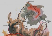
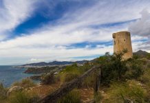
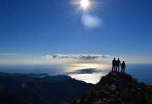
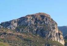
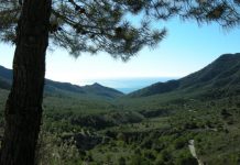
This route starts at the Fuente del Esparto, where our last one ended, and takes us to the peak of Navachica at 1,808 metres. The route is 18 kilometres in each direction so needs to be commenced early in the morning when daylight hours are long.
The track starts just before Fuente del Esparto which you can drive along to the heart of the ravine where the car can be left before proceeding on foot along the high-walled ravine. In this area there are many cracks and caves, some of which have been used as houses and for keeping goats.
The track narrows further and becomes a path, passing a water spout (known as chorrera), zig-zagging along and gaining height. At about 1,000 metres the path levels out and continues until the ravine bed is reached. Where the ravine reaches a rocky wall, the path ascends abruptly climbing around the wall, circling it, and then descending back to the ravine bed and arriving at the entrance to the first mines of the route, the Mina del Uno (One Mine) and La Furia (The Fury). Its important here to keep to the established pathway as the mine ventillation shafts remain open, are semi-camouflaged by plants and have no warning signs.
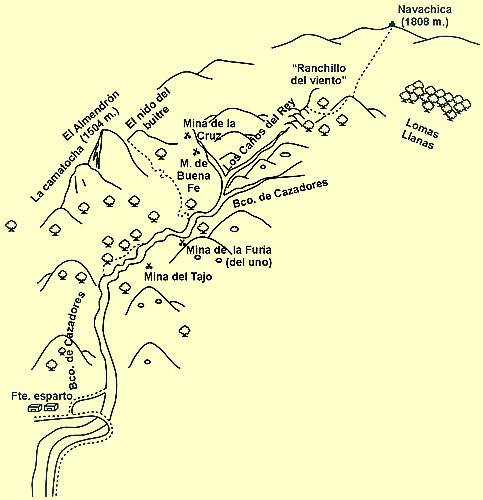
After the mines we carry on along the bottom of the ravine to a fork. At this point, follow the ravine to the left, leaving Hunter´s Ravine to the right (which would take us towards the Loma de la Encina). After 300 metres along the new ravine we meet another fork and take the right path.
Carrying on, we come across a series of steps, 2 to 3 metres in height, which are not too difficult to climb. The slope becomes increasingly steep until reaching a point where the ravine closes and can no longer be followed.
At this point we take a very steep path veering off to the right between some Holm Oaks, ad passing by caves called Los Canos del Rey (The King´s Jets) which hold year-round water deposits. At the top of this climb is a hill called Ranchillo del Viento (Little Windy Ranch) where one can rest and contemplate the extraordinary panorama surrounding the Barranco. Also seen is the Navachica peak, the Almendron range and, on the right, a vast forest of Black Pine and Holm Oak surrounded by rocky mountain ranges (the Pinar de Lomas Llanas).
Walk to Almendron
Recommended because of the spectacular nature of the landscape, the path commences approximately 1 kilometre after the mines of El Uno and La Furia, on the left at the base of a large pine tree. It zig-zags up a hillside towards a mountain pass on the north face of the Almendron. From here the entire Chillar Valley can be seen. From the foot of the Almendron Tajo (Almendron Gorge) we can ascend to the peak. If setting off early in the morning, you should be back by afternoon.