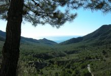
This route commences along the west side of the valley of the Rio de la Miel (Honey River) where traditional crops such as vines, olives and almonds grow alongside subtropical crops.
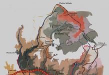
Take the exit K298 from the N-340 and continue along the lane until reaching a track on the left close to a sign indicating that the road we are on is coming to an end. Our route to Castillejos carries on to the left however it is possible to carry on until a rotunda and then take a lane that starts here and goes close to the riverbed. Because of the intense vegetation, areas of small cascades and narrowing of the river, this is a difficult path to follow but is the habitat of freshwater turtles.
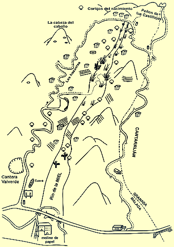
If not already on foot, its possible to park at the rotunda and return to the track mentioned previously. From this point the route to Castillejos is about 9 kilometres. Continue on the track (ignoring other tracks on each side that lead to private properties) until reaching Cortijos del Nacimiento (farmhouse of the river source).
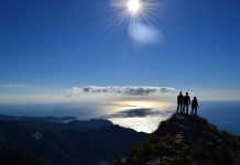
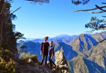
After passing a small stream, we have the choice of two routes to Castillejos. The first starts as a track on the left and is a 45 minute climb up to the rock. The second way is to continue along the track to the side of the mountains and veering left to access the base of the Rock at its eastern face. From here you can climb to the top and contemplate the fabulous views over the river valley, the coastline and into Granada province.
A return to the N-340 can be made via a track of 9 kilometres through the Cantarrijan area shown on the map.